
Having found the Shoreham footbridge closed, we had no choice but to walk upstream and cross the River Adur at the Norfolk Bridge. In the distance, off to the north west, we saw an impressive looking building: the chapel of Lancing College. It seemed too grand to be called a chapel; abbey or cathedral maybe, but “chapel” just didn’t seem to do it justice.

To the other side of the bridge the tide was in, revealing that one particular vessel was not quite as watertight as the others. Later in the day, on the way back home, our taxi driver told us that someone had bought this boat and was working at low tide to get it floating again.
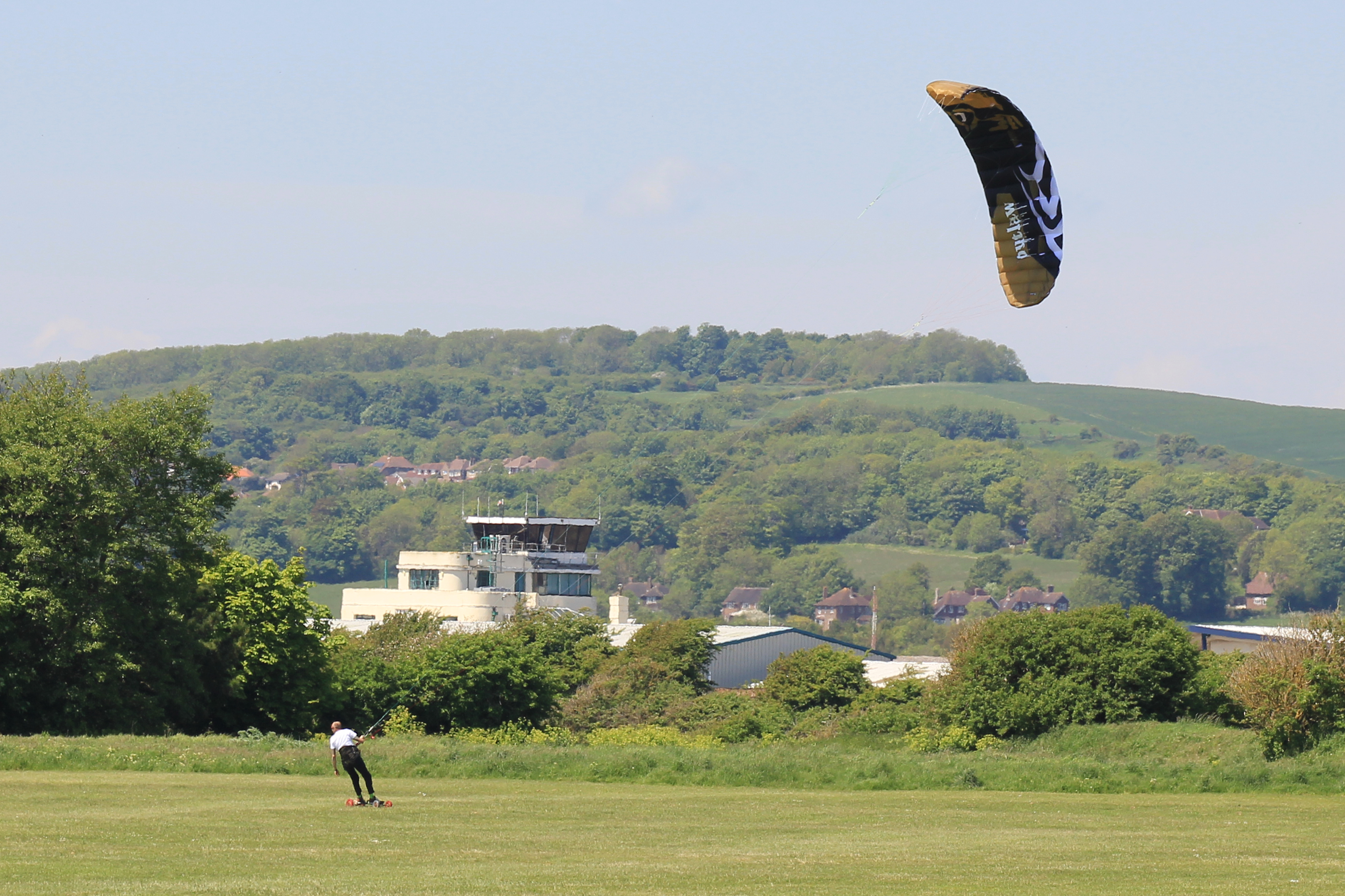
 Across the bridge, to the southern side of the River Adur, was an open green field. Two kite surfers rode to and fro, from one side of the field to the other. I willed the wind to gust so they could perform some spectacular jump or another. They would build up speed and the wind would race them along, but it never quite got to the strength where they could take off.
But of all the things which grabbed our attention during the crossing of Norfolk Bridge, it was the houseboats on the south side of the river which looked most interesting. Luckily, our path back to the coast would take us right alongside. We headed off for a closer look.

Points on this part of the walk (copy and paste the co-ordinates into Google Earth):
- Norfolk Bridge: N 50° 49.915 W 000° 16.793
- Lancing College Chapel: N 50° 50.800 W 000° 18.150
- Kitesurfers’ Field: N 50° 49.888 W 000° 17.050
- Houseboats: N 50° 49.745 W 000° 16.800
Walk #53 Statistics (of which this post forms the third part):
- Date of Walk: 27 May 2013
- Walk #53 total distance covered: 7.72 miles
- Coast of Britain Walk Total Distance Covered: 435.92 miles
- CLICK HERE FOR LINK TO INTERACTIVE MAP!!!

I’ve always thought Lancing Chapel was an extraordinary building. Magnificent, but the proportions seem completely wrong!
It really grabs the attention from miles away, doesn’t it!